|
Enter subhead content here
The following pictures are from Larry Yoder. Larry was stationed in Phan Thiet at LZ Betty. He returned to Vietnam with
his son Larry Jr. in 2006. Larry and his son braved the long climb to the top of Big Tit / Whiskey Mountain. He was assigned
to HHC 3-506th 101st Abn Div. His tour of duty was from May 68 to June 69. He extended for a few days to get an early out.
His mos was radio repairman, thinking they had sent him to the wrong unit he became the radio operator on top of Big Tit,(
Nui Ta Dom Mountain ) / Whiskey Mountain.
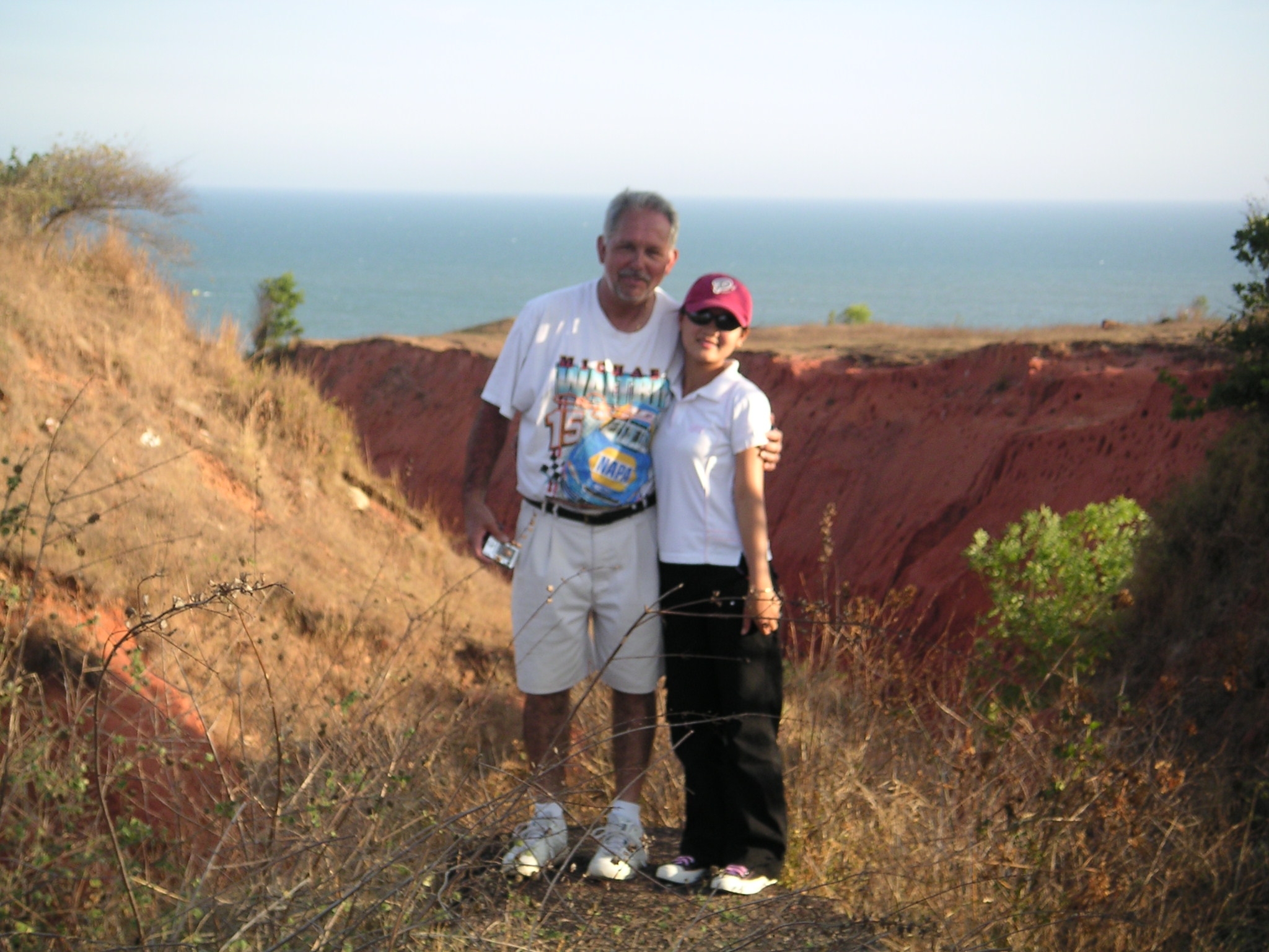
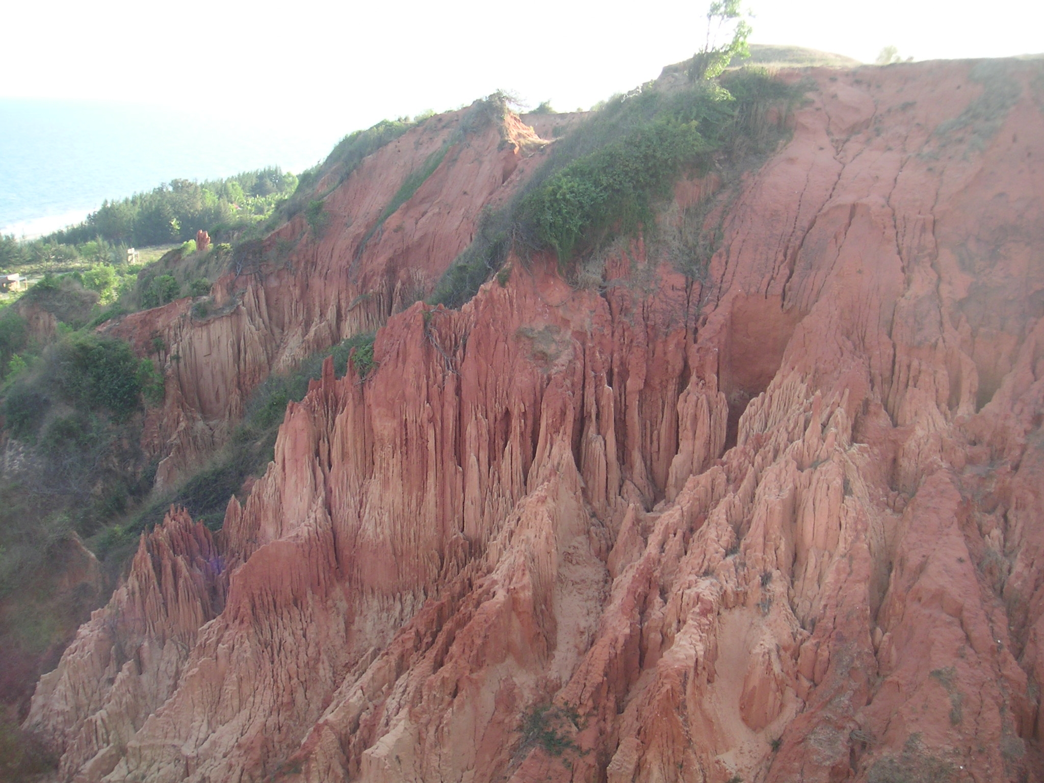
Larry with a Vietnamese girl at the edge of one of the errosion ditches at LZ Betty.
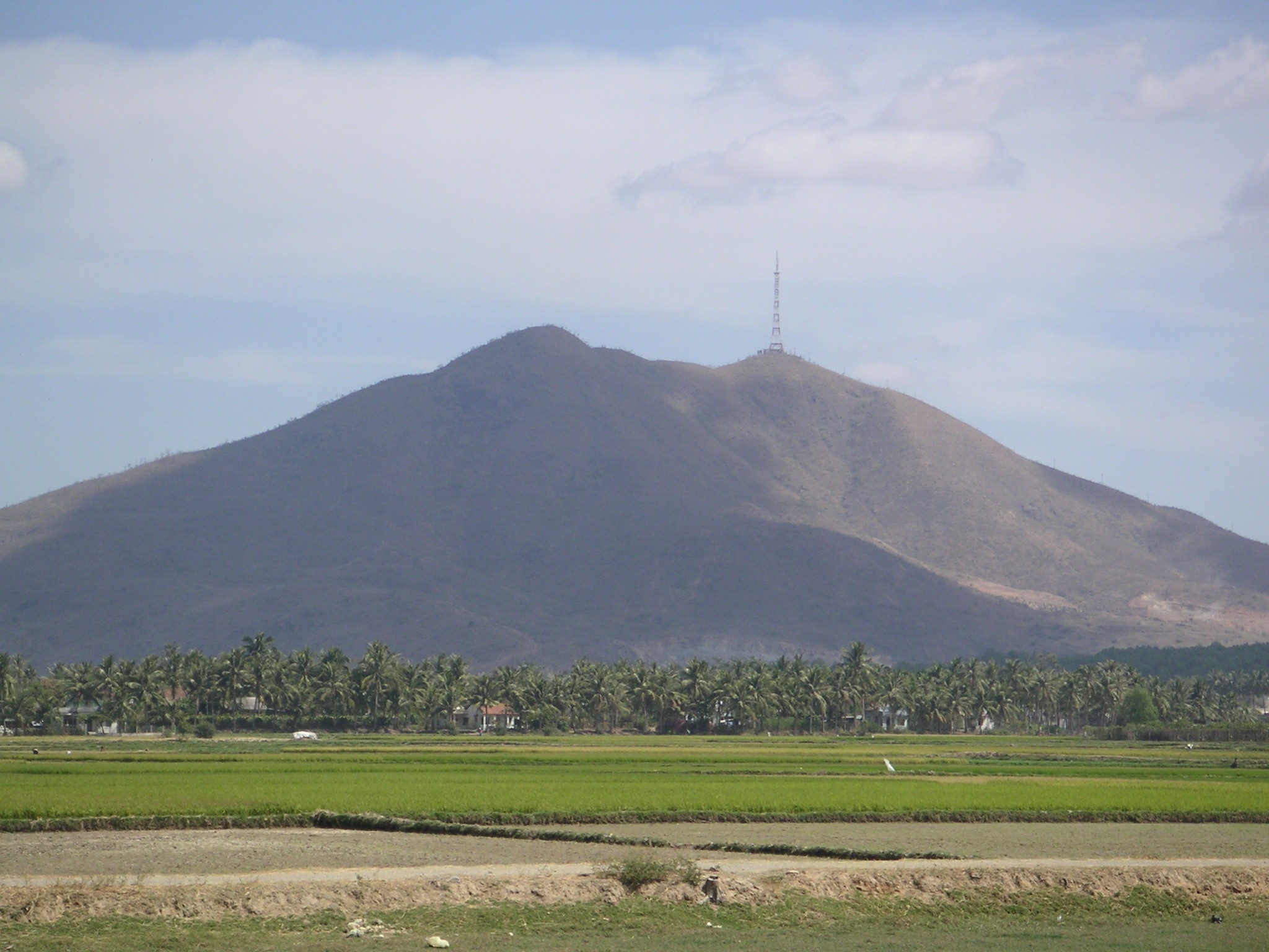
Tit mountain from the south west
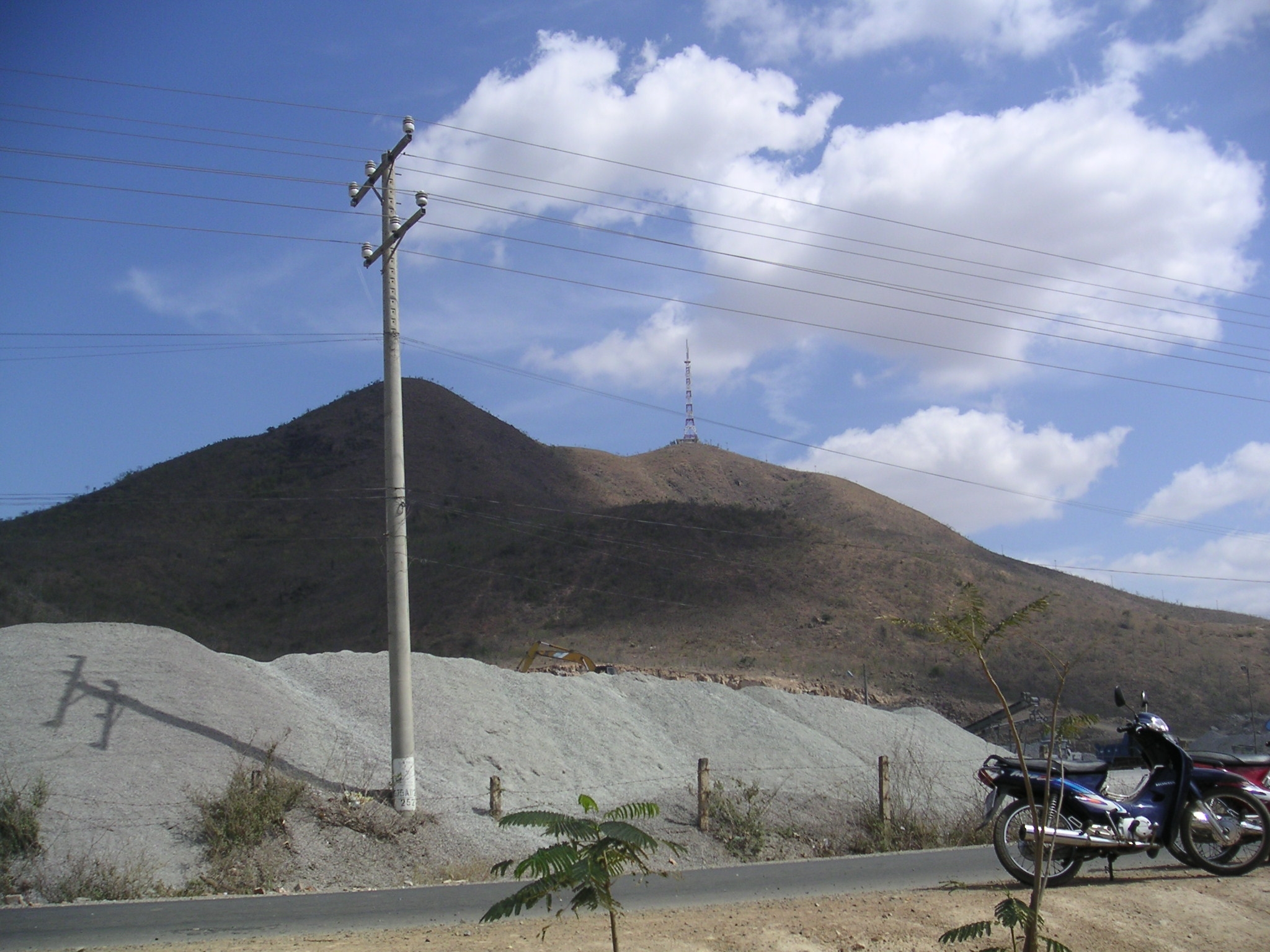
Tit mountain from the base
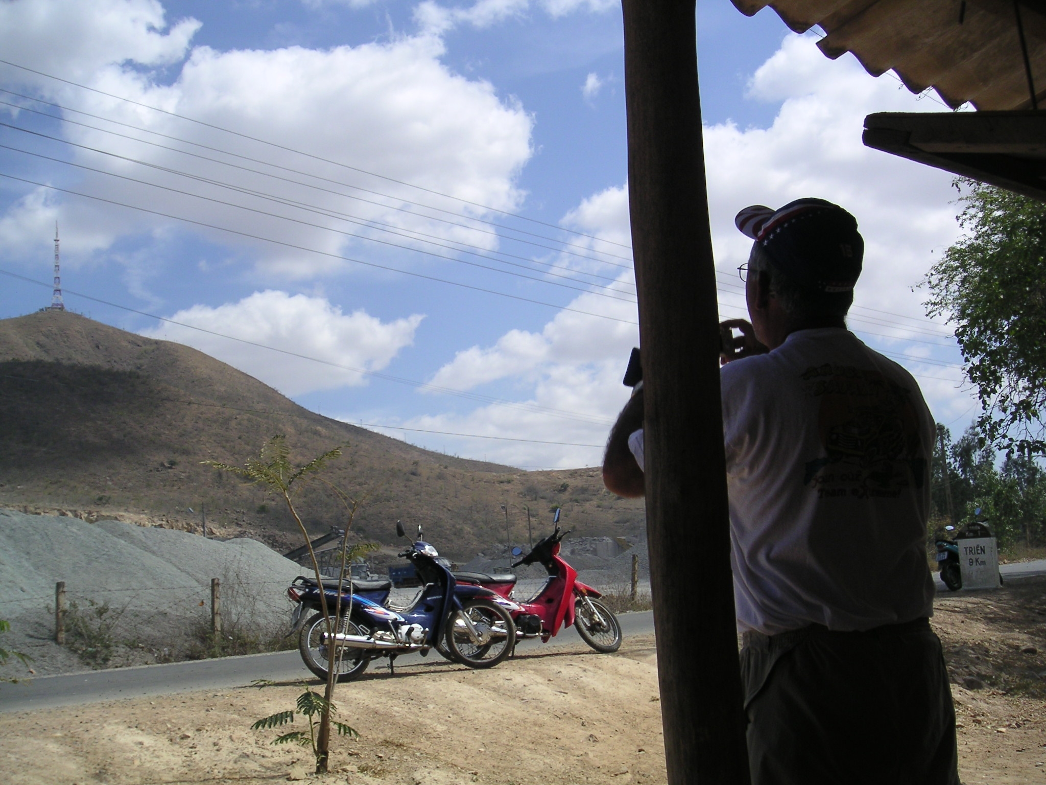
Hey lets try and climb to the top ! Larry says his tour guide wasnt interested in making the hike.
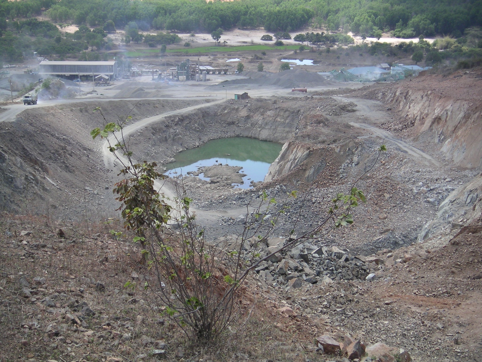
A mining company located at the base of the mountain. Not far from the old base camp of the 864th Engineer Co. The camp was
located between the double ridges. It was home for the 864th Engr Bn, Co A, B, C, D companies and the 73rd Engr Co (cs).
Infromation provided by Ronald Wentworth 73rd Engr Co 69 to 71.
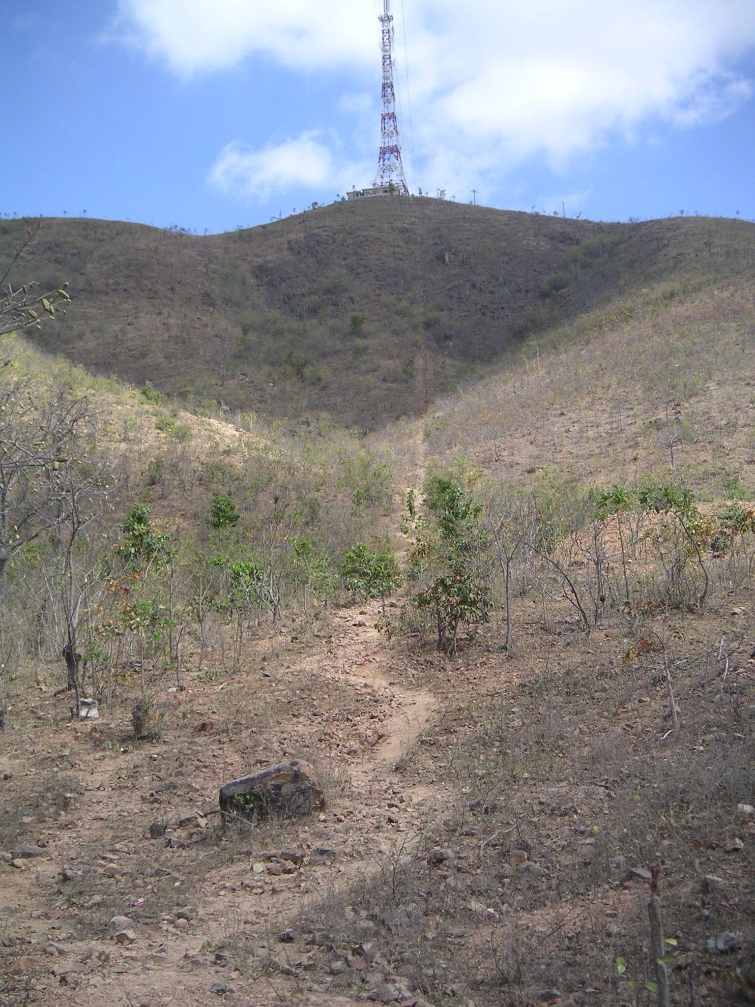
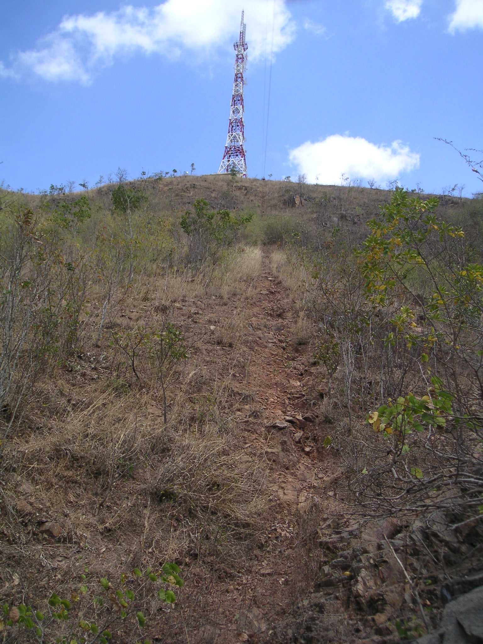
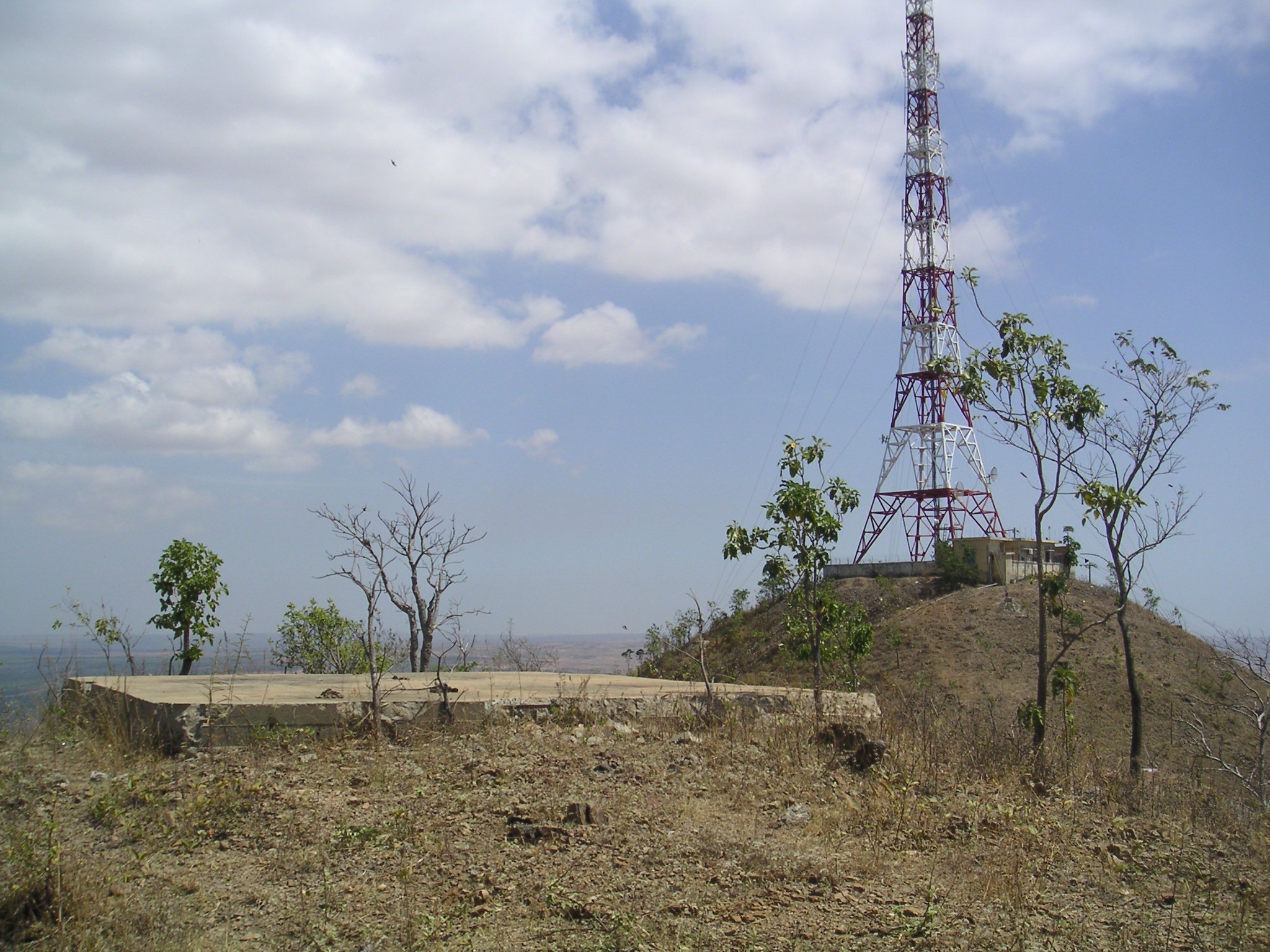
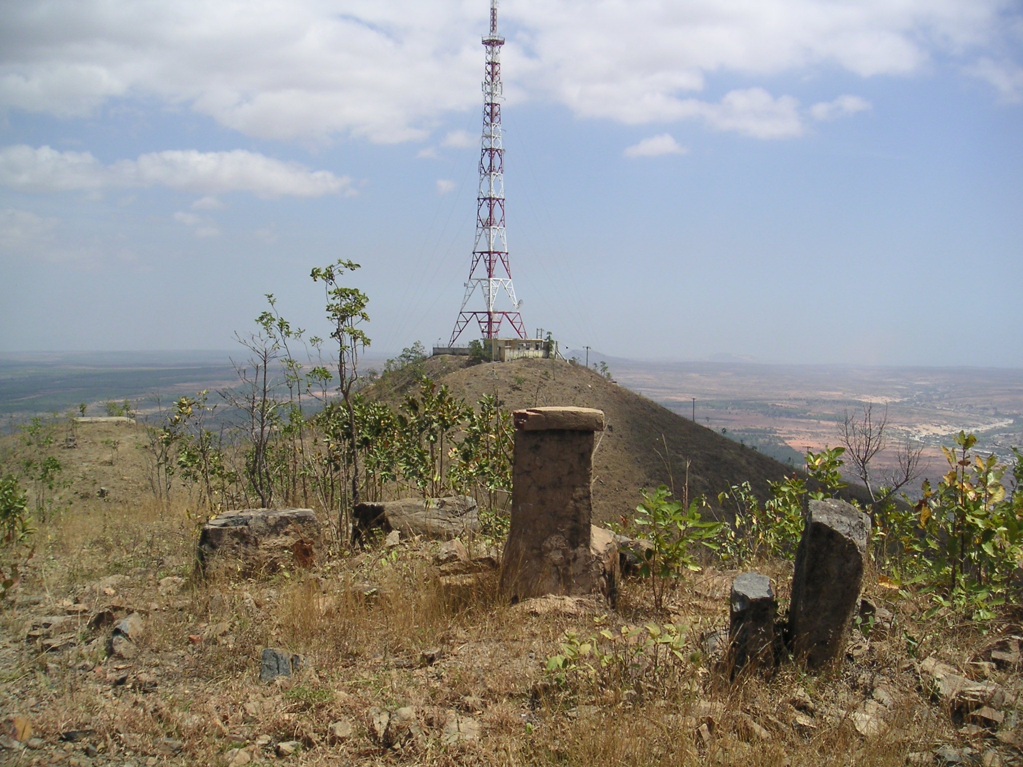
Cell tower on top of Tit Mountain
Lets follow the cow trail.
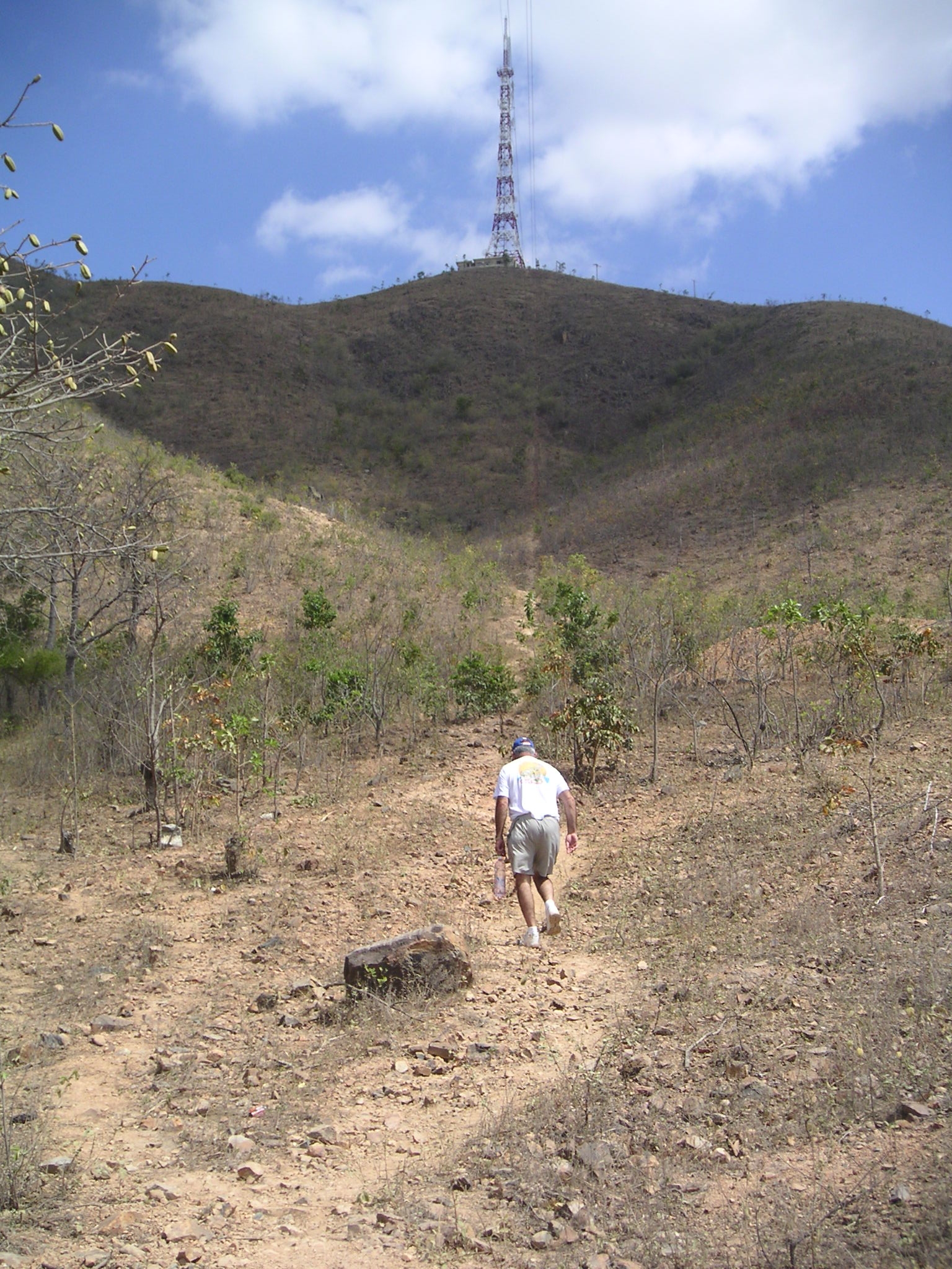
The cow path.
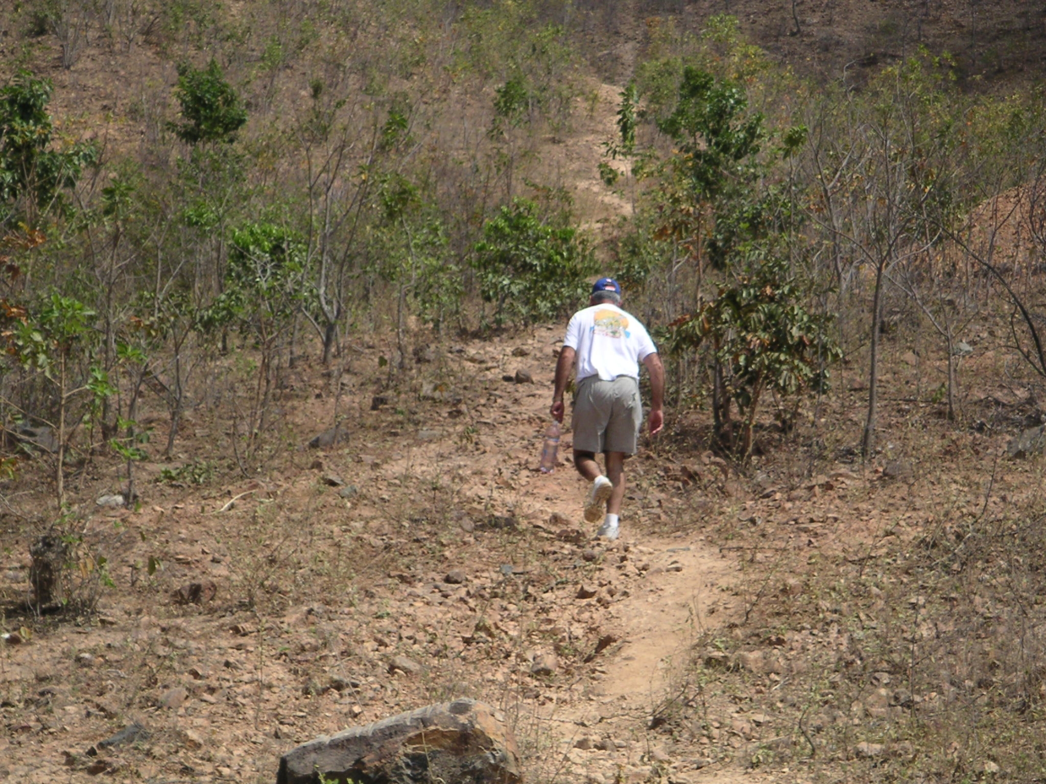
OK where do we go from here !

It was alot easier when we flew up there in a helicopter.
Looking down half way up.
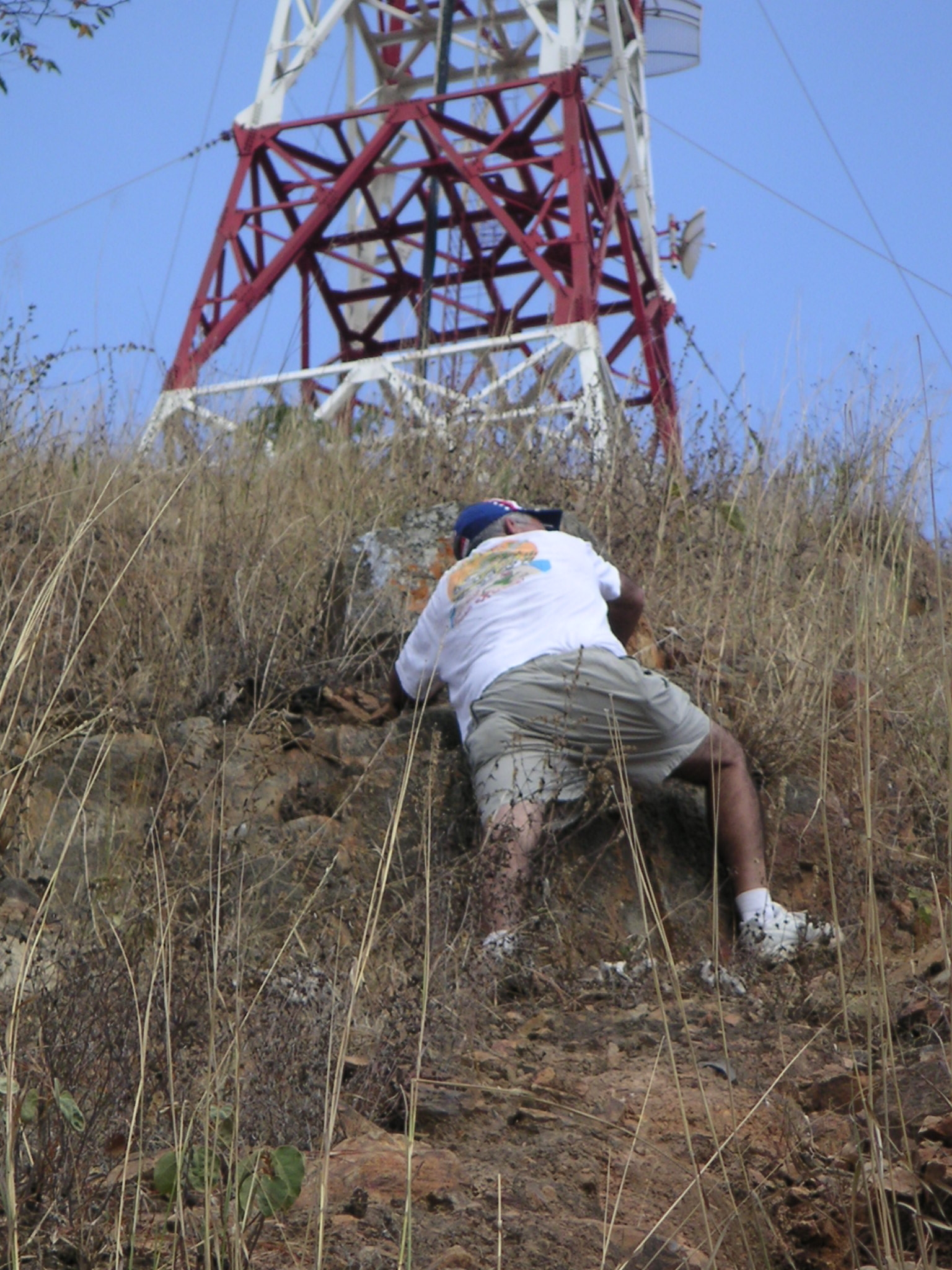
A man on a mission, don`t give up now your almost there !
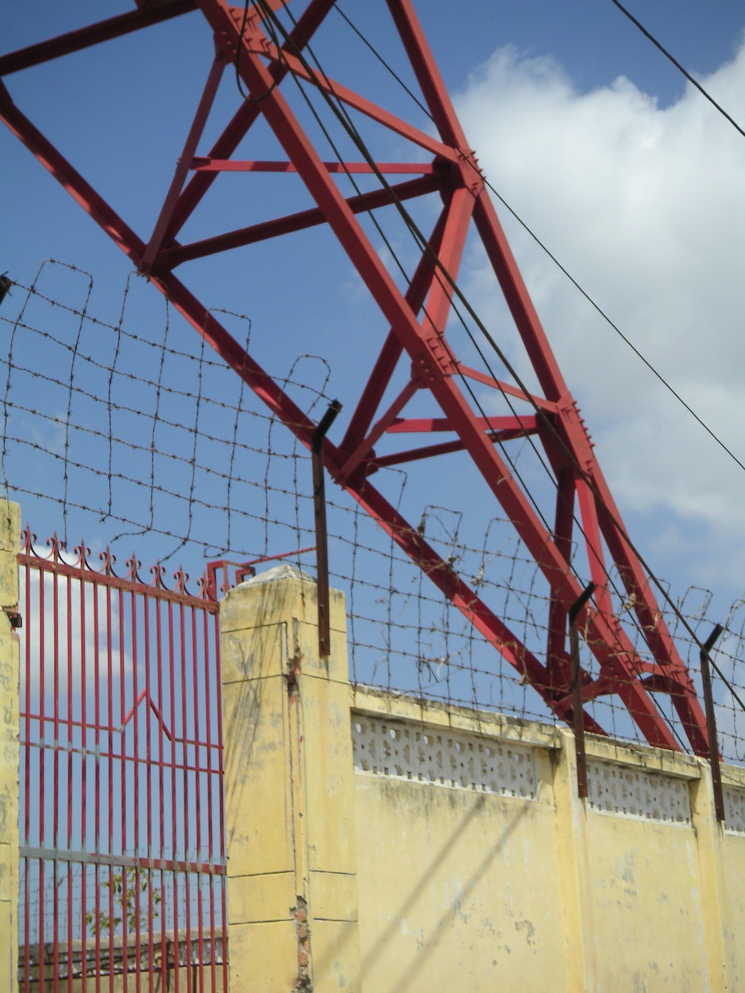
A wall built arround the cell tower on the north tit.
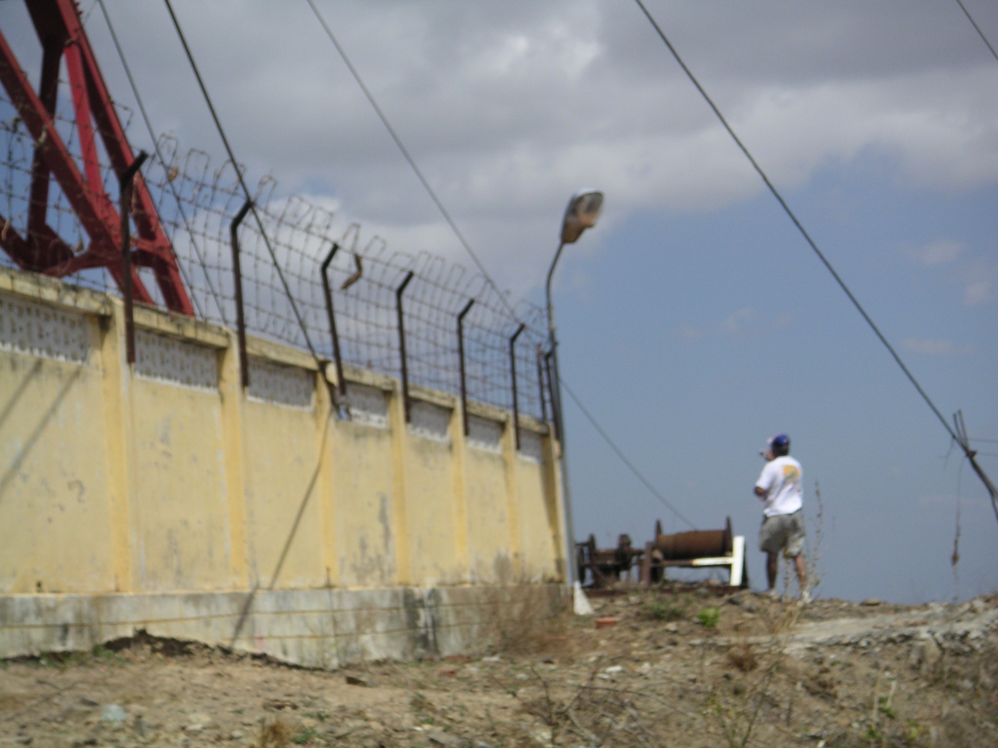
A gate leading to some living quartes under the tower.
One of the concrete slabs for the towers
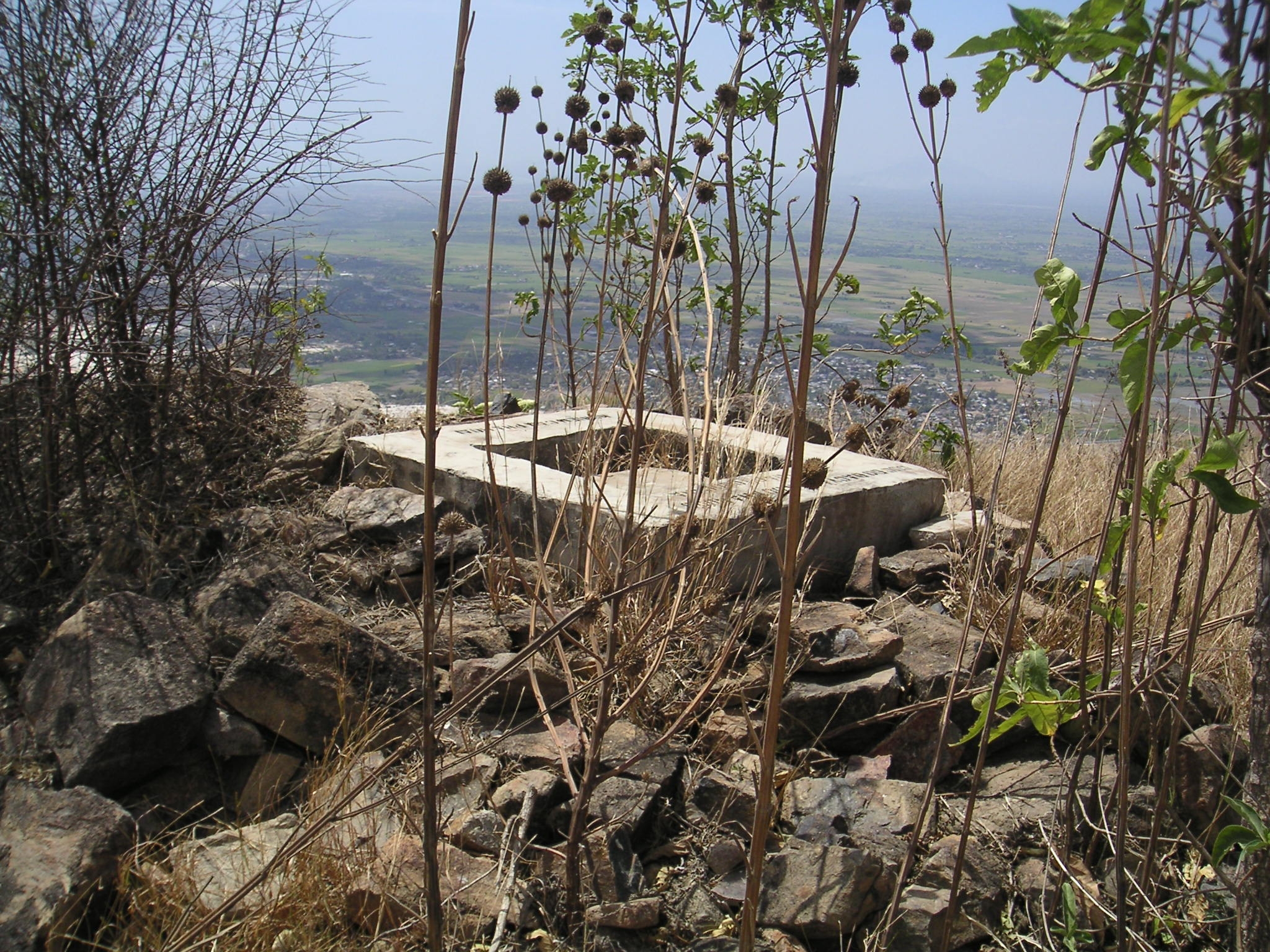
A monument on top of the south tit. Larry said he thinks it may have been for a former Vietnamese officer or official.
One of our old helipads on top.
Looking north from the south.
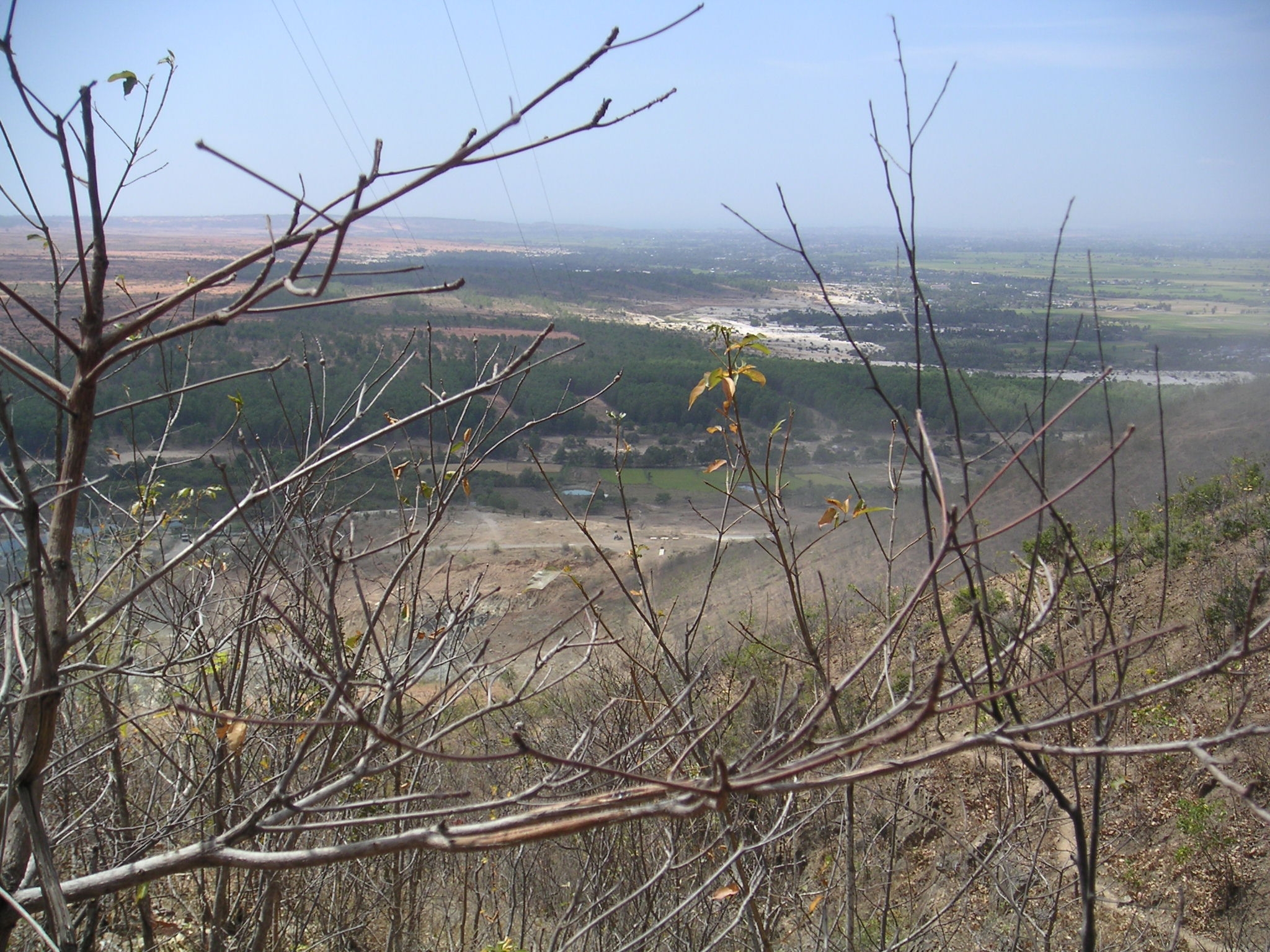
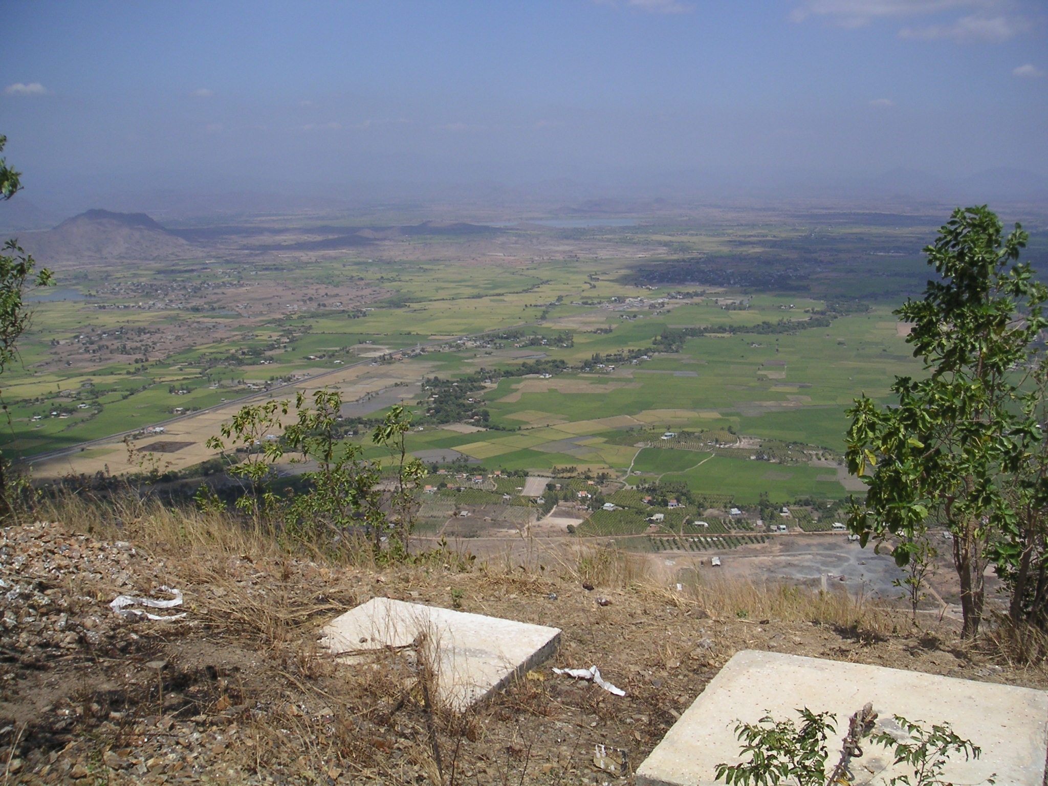
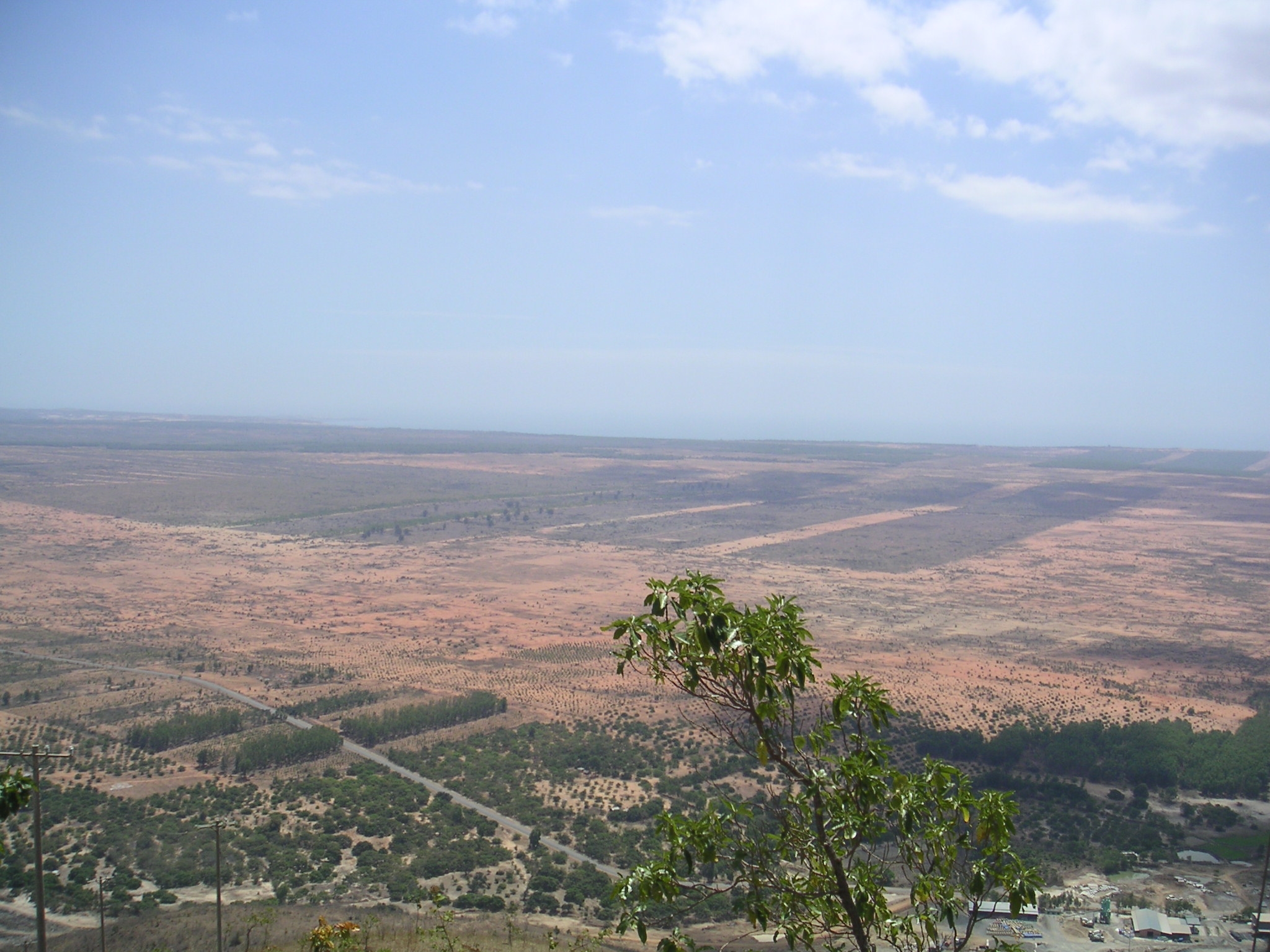
The next two pictures below are excellant views looking down from the top of the mountain. 2 areas of interest that couldbe
seen from here where Le Hong Phong Forest and the area known as Disneyland.
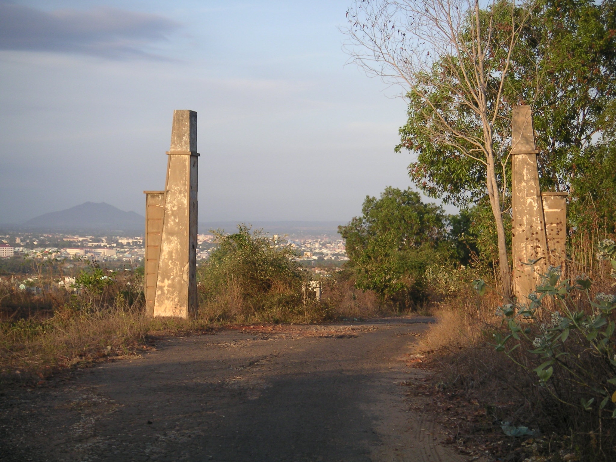
Looking north through the old entrance pillars towards Phu Kanh Hamlet, Phan Thiet and Tit Mountain.
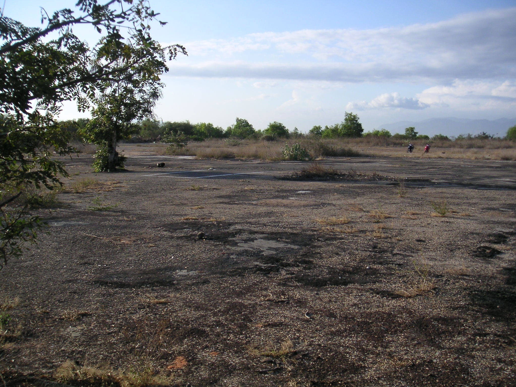
North end of LZ Betty just inside facing the sea.
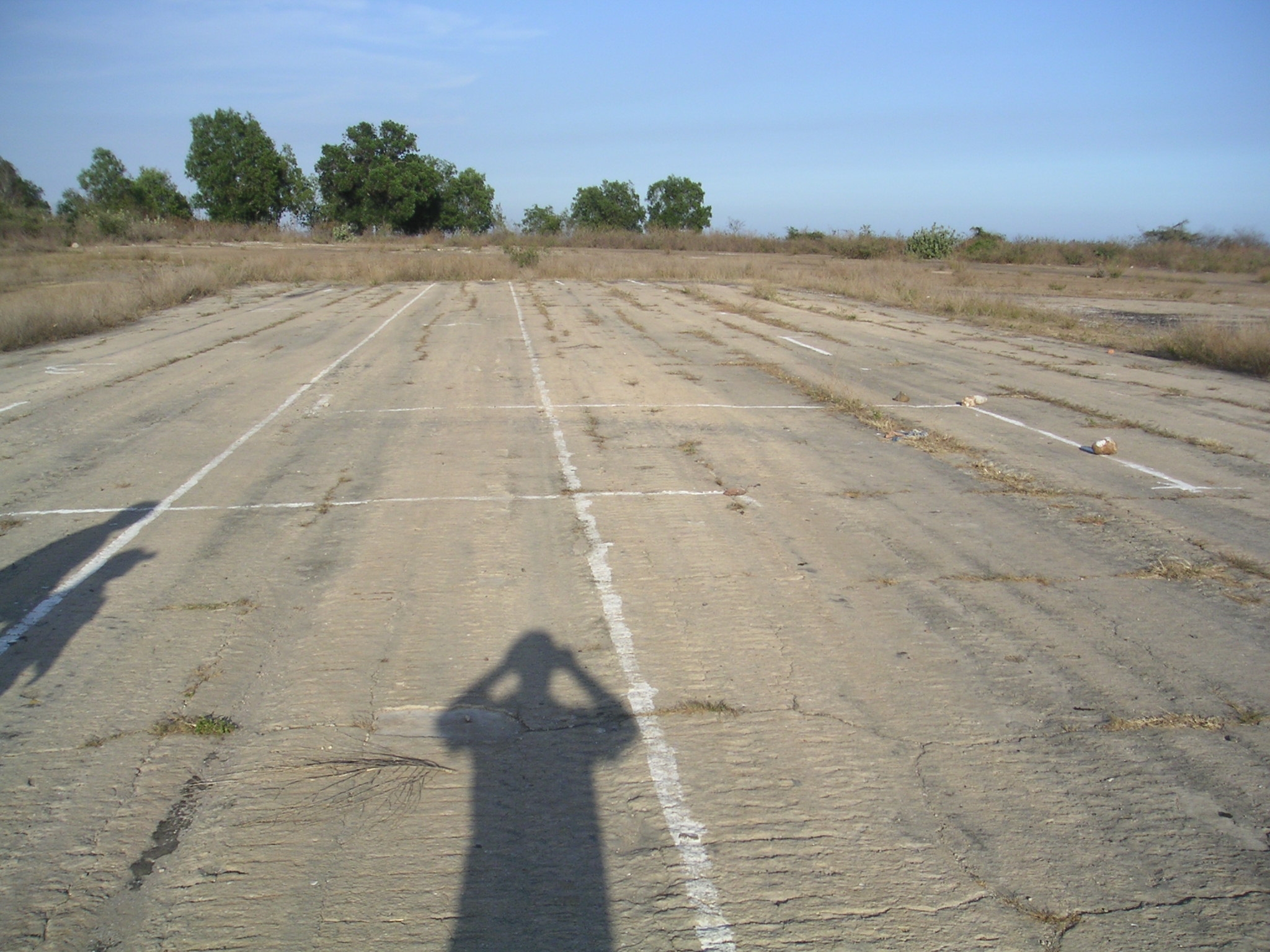
Facing north at the end of runway 25. The old headquarters building use to be on the right, only some of the footers remain
today. The lines painted on the old tar mat Ive been told are for driving school.
North end of LZ Betty, just inside facing the sea. On the left are th remains of one of the buildings.
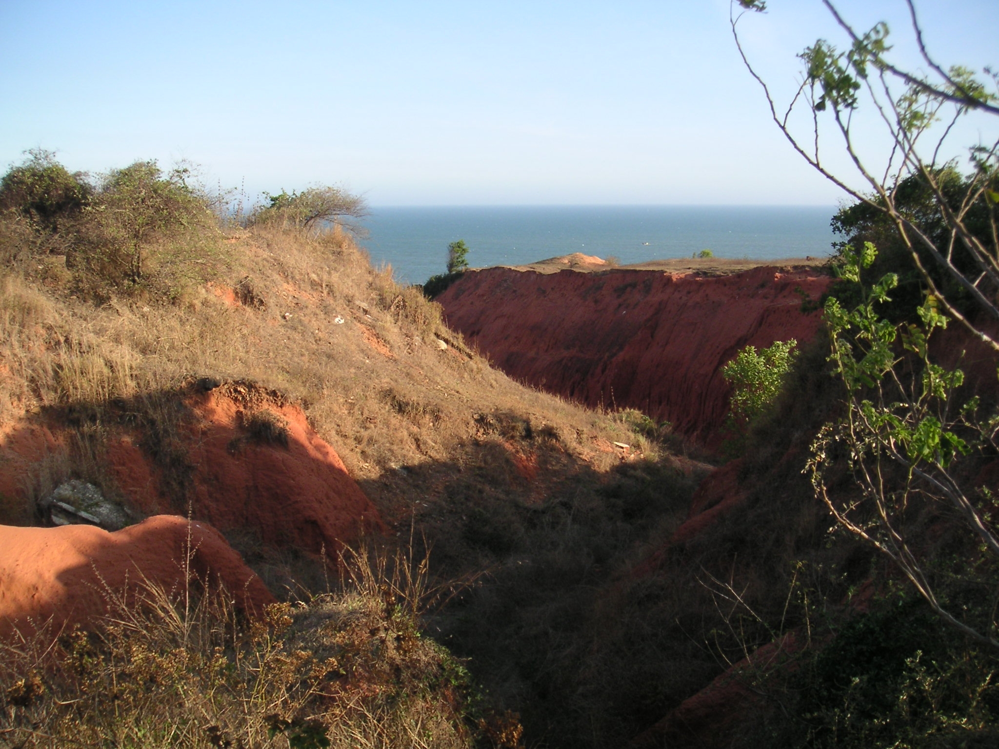
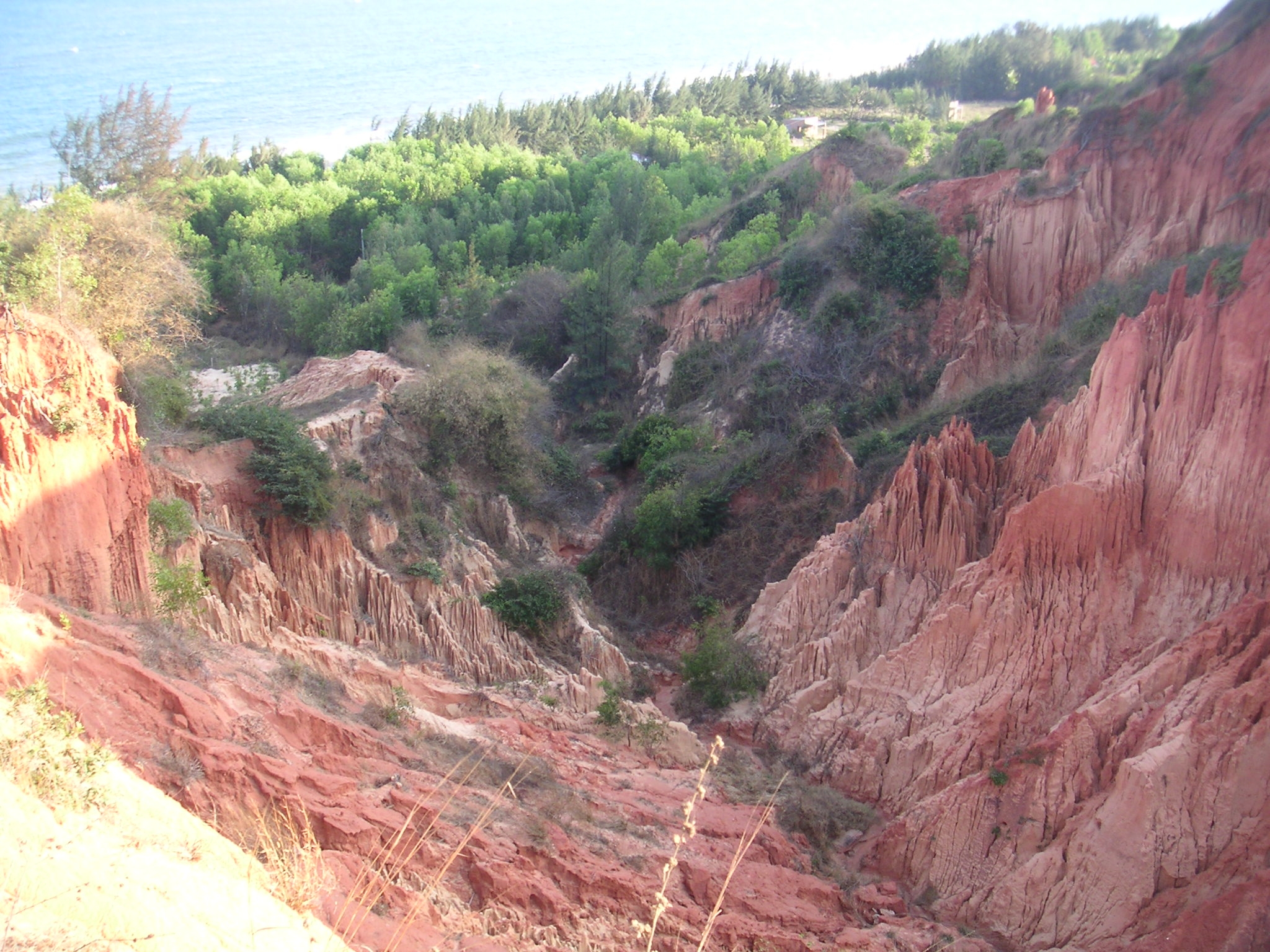
Another picture of one of the erosion ditches on the east side that has formed into a big canyon.
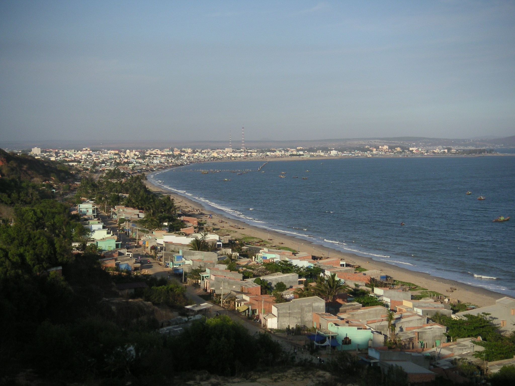
View of the beach looking down to the LST piers, fuel storage tanks and engineers storage area. The road that used to come
down from the MP gate is now just a foot path.
Looking for bugs to eat.
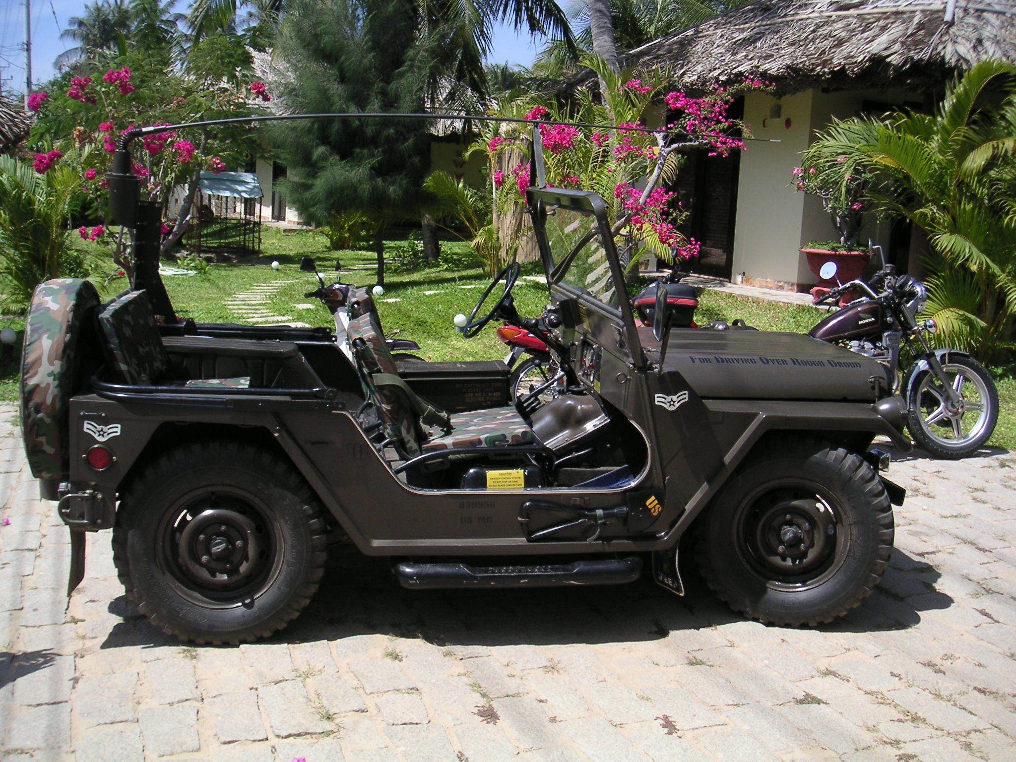
An old US Military jeep that was completely restored and owned by the resort.
|